Real Estate Photography
Aerial images that show the full property, surrounding land, access, neighborhood context, and standout exterior features.
 Up Stream Aerial
Northwest Drone Photography
Up Stream Aerial
Northwest Drone Photography
FAA Part 107 Certified · Oregon
High-quality drone photography for real estate, commercial properties, construction progress, and marketing content throughout the Portland metro area and the Northwest Region.
Built to make an impression
Up Stream Aerial creates professional drone photography that helps properties, businesses, and projects stand out online and in print.
Every flight is planned with attention to safety, weather, airspace, composition, and the final way your images will be used.
Selected work
A growing collection of Northwests properties, landscapes, and commercial imagery.
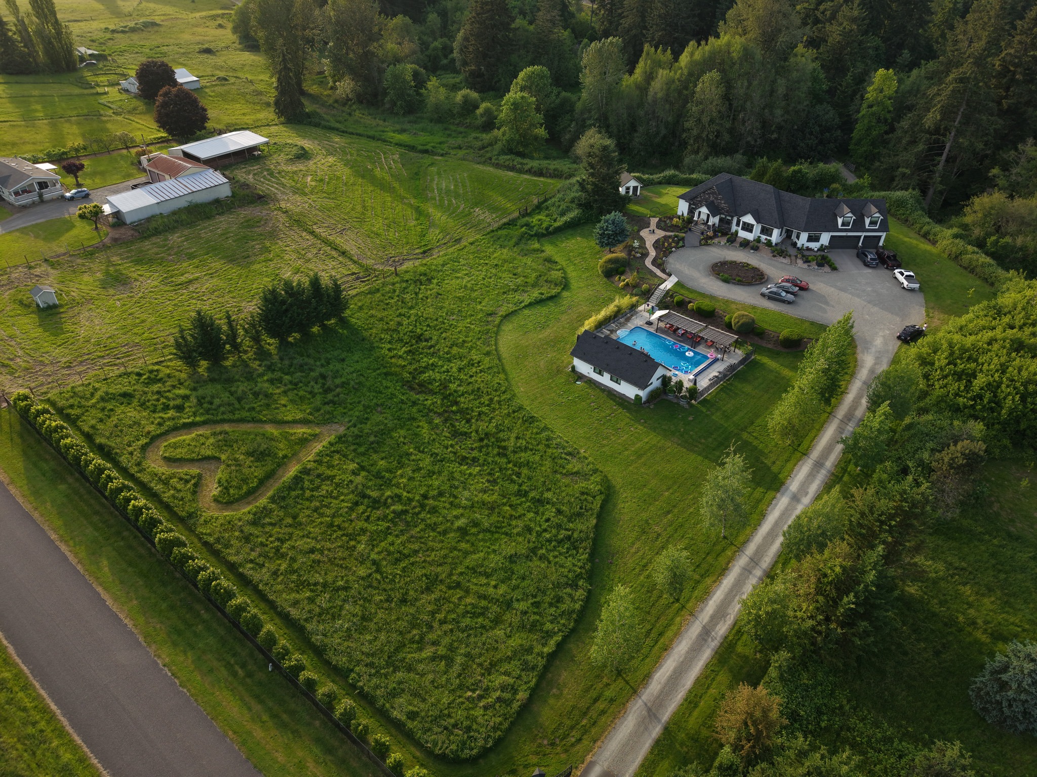
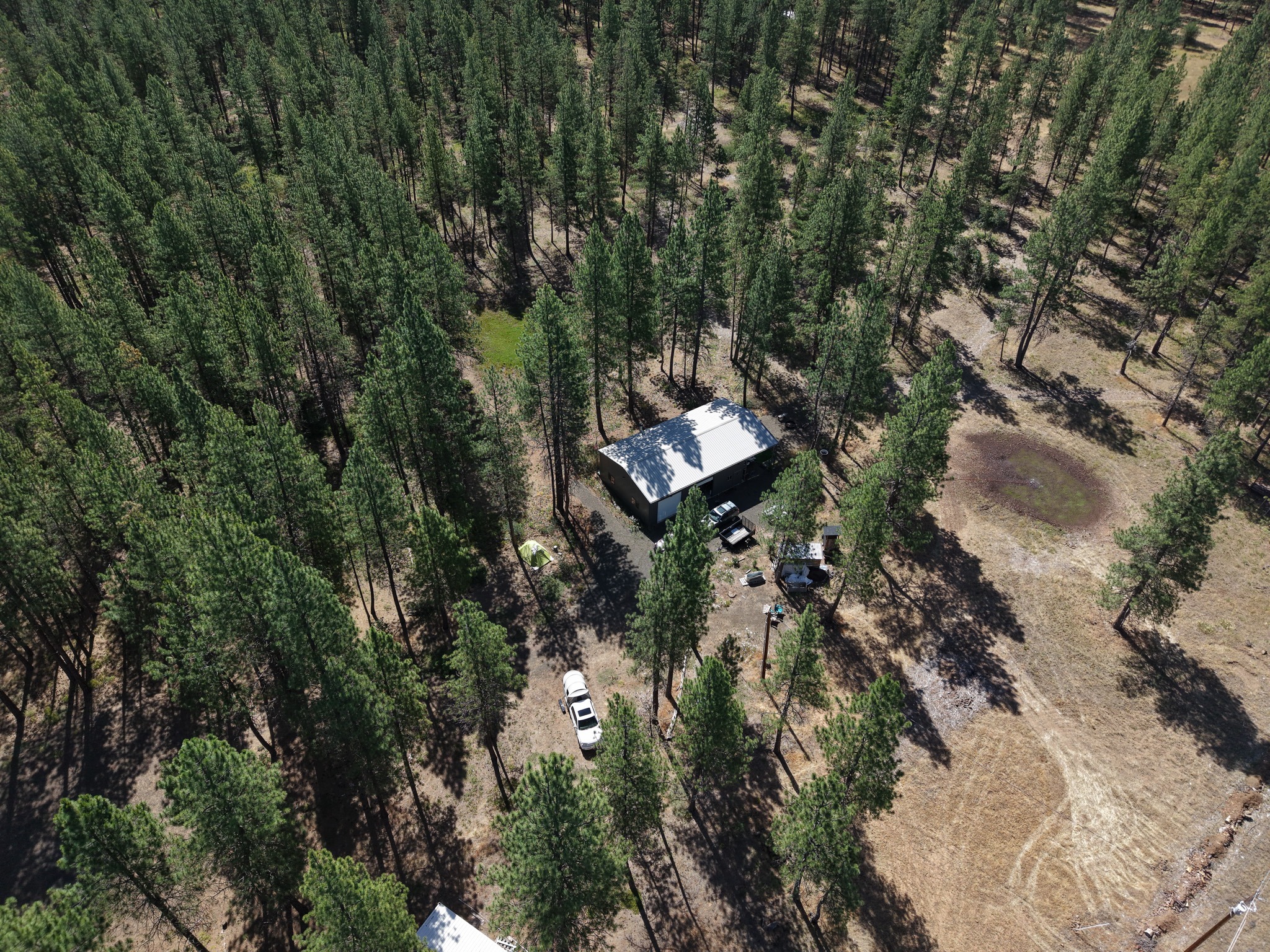
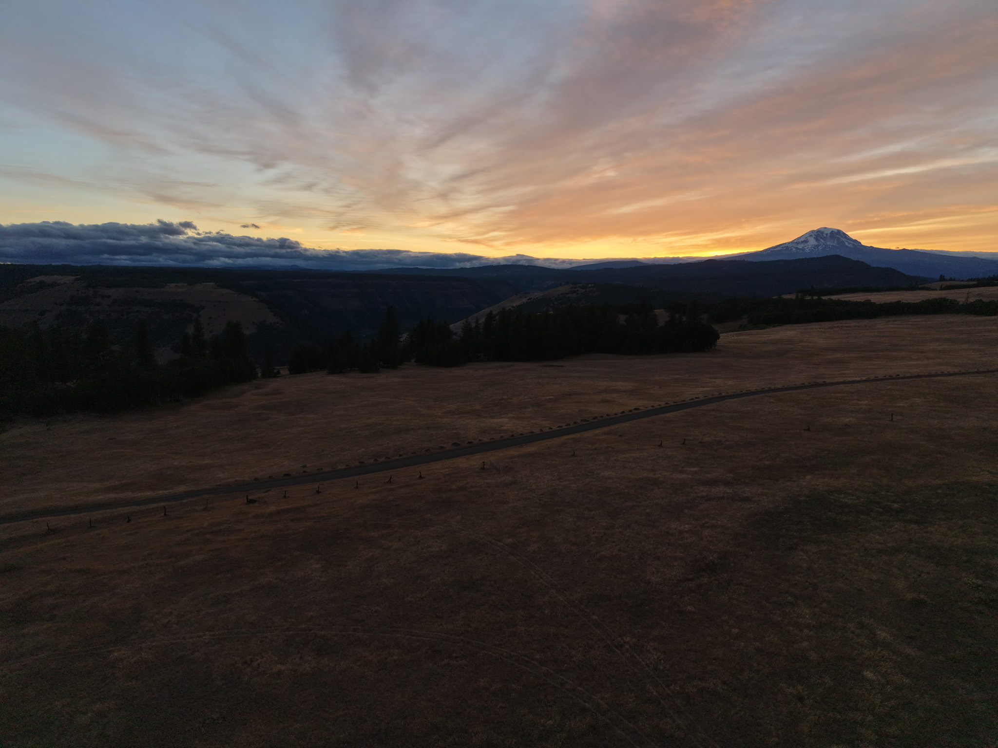
More portfolio work will be added as new projects are completed.
Professional services
Simple, flexible coverage based on the property, project, and final deliverables.
Aerial images that show the full property, surrounding land, access, neighborhood context, and standout exterior features.
Professional aerial content for businesses, facilities, farms, venues, commercial properties, and promotional use.
Consistent aerial photography documenting visible progress over time for project updates, stakeholders, and marketing.
High-resolution imagery for websites, social media, print materials, property listings, and business campaigns.
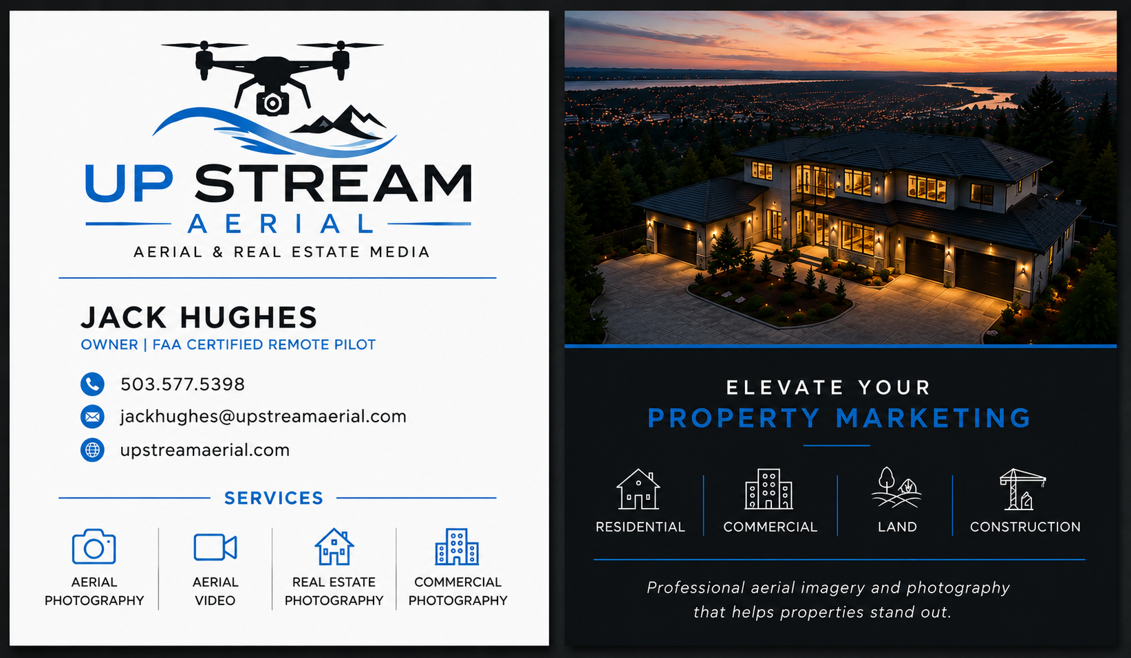
About Up Stream Aerial
Up Stream Aerial is an Oregon-based aerial photography business serving real estate professionals, property owners, contractors, and local businesses.
Flights are conducted by an FAA Part 107 certified remote pilot and planned around airspace requirements, weather, safety, and the needs of each client.
Straightforward process
Send the location, type of property, intended use, and preferred timeline.
I review airspace, weather, access, shot goals, pricing, and scheduling.
Edited, high-resolution files are delivered digitally and ready to use.
Start a project
Include the project address, type of coverage you need, intended use, and your preferred date or deadline.
Your quote request has been sent successfully.
I’ll review your project details and get back to you within one business day.
Need a faster response? Call or text (503) 577-5398.